Lorimers
Middle CaicosAlong with Conch Bar and Bambarra, Lorimers is one of three main settlements on Middle Caicos.
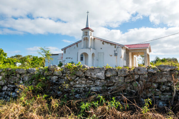
Found on the east coast of Middle Caicos, not much is located in this tiny settlement. With only about a dozen residents, there are no shops or gas stations. Most who live are either retired or fish and farm.
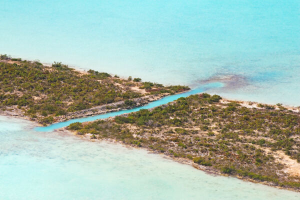
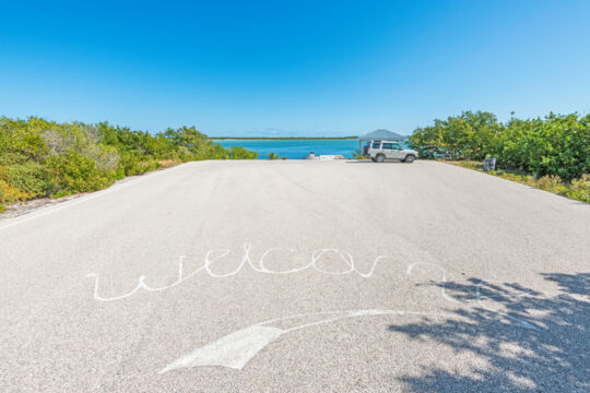
An excellent kayak or paddleboard launching area can be found on the coastal side of the village at Lorimers Landing. This small dock is home to a few fishing boats, but the depths of the creek and surrounding waterways don’t allow vessels of more than a foot of draft. The lagoon that fronts Lorimers Landing, which is called The Creek, is connected by a small hand-dug cut to another lagoon, Increase Creek, which eventually leads out to the cays between Middle Caicos and East Caicos.
Increase Creek was named after Increase Plantation, which is found at the remote southern end of the Lorimers Peninsula and was one of the great Caicos Loyalist cotton plantations.
Like many of the interior sounds and lagoons in the Turks and Caicos, Lorimers Creek has several underwater cave systems, one of which is found just north of the landing.
Lorimers Creek
The semi-landlocked Lorimers Creek borders one side of the village. This lagoon isolates the sandy peninsula that includes the Wild Cow Run and Cedar Point beaches.
The wetlands in this region are quite maze-like, and the Loyalist-era planters cut a small channel that connected Lorimers Creek and Increase Creek. From Increase Creek, there was a clearer route to the ocean through the Windward Going Through Channel between Middle Caicos and Dickish Cay.
Origin of the Name and History
The village is named after the British military doctor and plantation owner John Lorimer. Upon his death, his will stated that his slaves were freed and they named the village after him.


