Districts and Areas of Grand Turk

Grand Turk is the largest island in the Turks Islands archipelago, and the second most-populated island in the Turks and Caicos. The island is also home to the country’s capital city of Cockburn Town, and consequently many administrative institutions such as the Supreme Court.
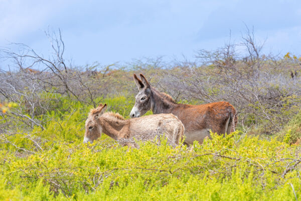
Grand Turk’s total land mass is only about 7 square miles (18 km²). As is largely the case with all of the islands in our archipelago that are directly exposed to the eastern trade winds, the east side of Grand Turk consists of semi-lithified limestone dune elevations, and the majority of vegetation is low-height and drought-tolerant scrub brush.
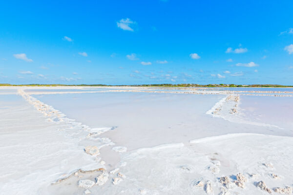
Due to the now abandoned sea salt industry, Grand Turk’s ecology has heavily changed over the centuries since European settlement. As is the case on many of our larger islands, marine ponds are a common sight on Grand Turk, and early settlers developed these bodies of water into salinas, complete with water inlets, dividing walls, and pumps. The salina systems made for the efficient evaporation of seawater and the production of salt, which was a valuable commodity at the time. As may be expected, the development resulted in a drastically changed ecosystem, and the loss of extensive mangrove networks.

Grand Turk Today
Mixed development is found over much of the west side of Grand Turk. The high ground on the east coast tends to largely consist of low-density residential and vacation rental villas.
The island’s airport is located in the approximate center of the island, and the cruise ship terminal is found on the southwestern end of the island. Driving times between nearly all locations are only a few minutes.
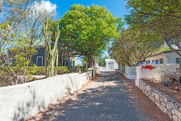
Of all of the islands in the Turks and Caicos, Grand Turk has the closest approximation of a “town”. In Cockburn Town, the narrow streets separate the small blocks, and British-Bermudian Colonial architecture sets the atmosphere.
North Creek, a central sheltered lagoon, once has an open channel to the ocean suitable for vessels and interior docks that were utilized for mooring. However, sand and sediment backfill over the last couple of decades has closed the entrance off for all but the smallest boats. The tranquil Pillory Beach coast fronts North Creek to the west, and is home to small resorts and residences.
Wetlands and Landscapes

Unfortunately, Grand Turk’s limited size and more active historical past haven’t left much wilderness undisturbed. There are beautiful beaches and vistas across the island, however, if you’re looking for an immersive landscape, the southeast side near Hawkes Nest and Matersons Point, and the marshland at North Wells are the sole choices. Both regions are quite scenic.
Several varying terrains are found between Matersons Point and Hawkes Nest Salina, including mangrove-lined ponds and channels, coastal dune bluffs, and dry brush land. Field walls from the forgotten Hawkes Nest Plantation, a site that raised sisal during the Victorian era, can still be seen.
The wetlands of North Creek support interesting and salt-resistant plant life. For much of the year (or years if there isn’t a passing tropical depression or heavy rains), ocean water accumulates in many wetland areas, and as evaporation occurs, salinity levels increase. Only limited types of vegetation can thrive in such a harsh environment.
Locations on Grand Turk


