Cedar Point Middle Caicos

Located on the far northeastern end of Middle Caicos, Cedar Point Beach is a remote and incredible coast, and is one of the most scenic areas in the Turks and Caicos. The beach’s name is derived from the dense forest of casuarina trees (also known as Australian pines) that line the coast—these trees are often referred to locally as cedars.
Cedar Point is also sometimes considered part of Wild Cow Run beach.
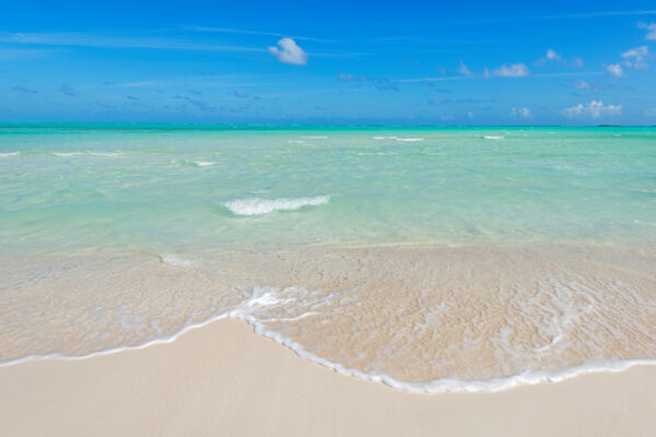
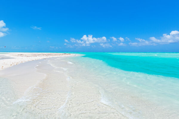
Cedar Point offers a very wide white sand beach with shallow turquoise water. As is the case at several channel systems in the Caicos Islands, the area at times has a network of picturesque sandbars, which do move with the varying weather conditions. At times, these sandbars form sheltered lagoons, which can be very scenic.
Cedar Point and the other eastern Middle Caicos beaches of Wild Cow Run and Haulover Point are excellent flotsam and shell beachcombing locations.
At the extreme eastern end of the beach is Windward Going Through Channel, which separates Middle Caicos from the beautiful and uninhabited Dickish Cay. In the distance, you can also see the likewise exquisite Joe Grant Cay. The depths of the channels and shallows in the area aren’t significant, so it’s possible to wade over. Tiger sharks and lemon sharks are known to visit the channels.
The terrain near Cedar Point is quite beautiful and unique. Some of the best thatch palm forests in the country are located inland, and there are orchids, Cuban crows, and interesting semi-lithified dunes to explore.
The thick casuarina forest provides ample and welcome shade, and is the perfect setting for a tranquil afternoon.
Cedar Point Beach Access

Cedar Point and Wild Cow Run are very scenic and well worth the visit. However, it’s important to keep in mind that this is a remote area. Middle Caicos is home to several amazing beaches that are easier to access, including the famous Mudjin Harbour and Bambarra Beach. Many guests may prefer spending time at these beaches instead of Cedar Point to avoid the long drive.
To get to Cedar Point, take the main paved road from the Bambarra settlement on Middle Caicos towards Lorimers. Directly before you reach the village of Lorimers, turn left onto the unpaved road and continue for 2.5 miles (4 km). You will pass the sign for Haulover Plantation on your left after 1.7 miles (2.7 km).
Continue for 0.8 miles (1.3 km). You should reach a four-way intersection around a small triangular island of vegetation. As you approach it, keep right and take the first right. The road continues for 4.2 miles (6.8 km) to Cedar Point. A jeep or 4x4 is recommended.
Beach Access Path
The Cedar Point and Wild Cow Run Beach Path leads from the end of this road through the trees to the beach.
Cedar Point Beach is very remote. If your vehicle breaks down or gets stuck in the sand, you’ll have a 7-mile (11.3 km) walk to the nearest settlement (the tiny village of Lorimers). Services at Lorimers are quite limited. Be sure to bring plenty of drinking water.
