Wild Cow Run Middle Caicos

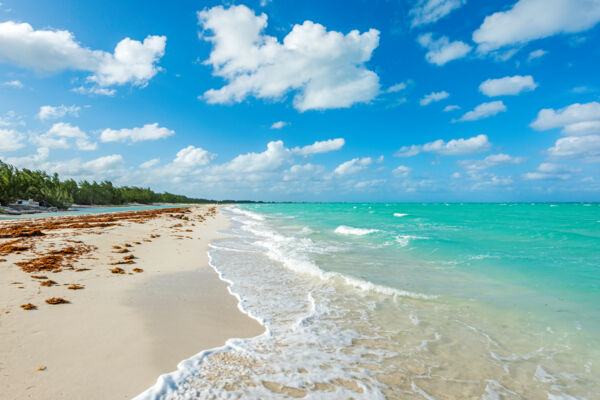
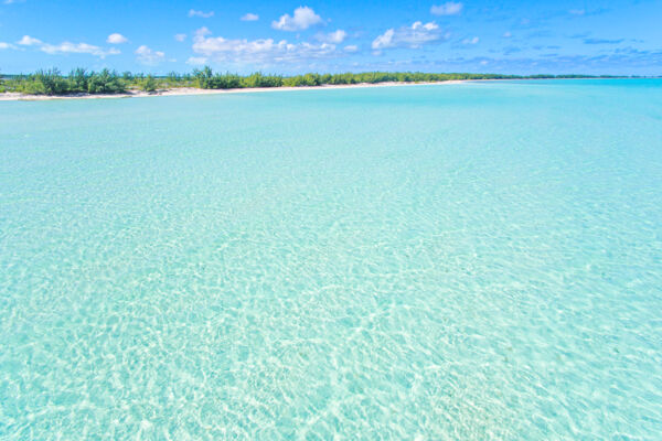
Found on the remote eastern side of Middle Caicos, Wild Cow Run is a three-mile-long (4.8 km) beach that’s lined with casuarina trees. The ocean water and sand conditions vary from rather poor on the far western side near Haulover Point to incredible on the far eastern side near Cedar Point.
The western end of the beach isn’t great for swimming due to high levels of seaweed and shoals. That being said, Wild Cow Run is worth the visit to experience the stellar views from the adjacent bluffs and glimpse the interesting sea creatures and fish in the water below the cliffs.
The entirety of the coast is an excellent location for flotsam beachcombing.
Wild Cow Run is edged on its northwest end by Haulover Point and on its southeast end by Cedar Point.
Kiteboarding
Due to the wind typically being onshore here, Wild Cow Run is one of the safer kiteboarding beaches on Middle Caicos (though it's still advised to be cautious kiteboarding in the area). If you do venture out to this remote beach, bring plenty of drinking water. Help may be far away, and the sun is typically intense.
The shallows, channels, and cays to the east of this area—including Dickish Cay and Joe Grant Cay—offer some of the best kite spots in the Caribbean. Sandbars, shallows, and incredible clear water continue for miles.
You’ll also likely spot sea animals such as turtles, stingrays, and nurse sharks cruising about in this beautiful environment.
Beachcombing
The rarely visited east coast of Middle Caicos offers fascinating beachcombing, with treasures ranging from seashells and messages in bottles to fishing floats of every possible type and intricate driftwood.
The casuarina trees (also known as Australian pine or she-oak) in the area create a dense ground cover of dropped needles, which makes exploring above the high tide dune line easy.
Wild Cow Run Beach Access

Access to Wild Cow Run is unfortunately limited. An unpaved road leads northeast from just before Lorimers Village (you’ll pass Haulover Plantation on your left) to the Haulover Point area and a four-way junction around a small triangular island of brush. As you approach this triangle, you’ll want to keep right and take the first right.
At this point, you should be on the 4.3-mile (7 km) stretch of road that leads to both the Wild Cow Run and Cedar Point beaches. As you continue down this unpaved road, you'll see some rough and overgrown bulldozed tracks to the beach that are between 500 and 1,000 feet (152 to 304 m) long at intervals on your left. If you continue driving, you'll arrive at Cedar Point (where the road terminates).
The remainder of the route after passing the settlement of Lorimers is unpaved, yet road surface conditions are traversable by any rental car if you take the road at a slow pace. That being said, it's usually best to rent a jeep or 4x4 if you plan to drive to this area.
